Return to North: Mt. Tapulao
After some series of climbs at South Luzon (Mt. Palay Palay (Pico de Loro), Mt. Maculot, Mt. Makiling Part 2), it's time to go back to North.
Mt. Tapulao a.k.a. High Peak is the highest peak of Zambales (2037 MASL) located at Dampay Salaza, Palauig. For me, this is a no ordinary climb, because of a veeeery long trekking hours which will take you 10 hours from DENR to Campsite.
We already climbed it last 2012 but, because of a bad weather, we didn't make it to the top so we stayed at the DENR office. Here are some pictures of 2012 climb.
Now, this year, it's time to come back to Mt. Tapulao dubbed "Revenge Climb". We set the climb April 8, 2015. Meet Up at Victory Liner in Sampaloc Manila going to Sta. Cruz. Although you can ride going to Iba pero mas mabilis makakarating sa Palauig kung Sta. Cruz bound bus. At 6am, we start trek.


The only difference from 2012 climb to 2015 climb is that the huge rocks along the trail are now removed. Some parts of the trail ay may marks ng gulong ng bulldozer due to a preparation of the trail run event in Mt. Tapulao. Also, guides are now required.

The weather is just fine, huwag lang abutan ng araw sa first part ng trail which is from DENR to First Water Source (KM 6) because there are no trees sa part na yan for shade. 9am nasa KM 6 na kami (Water Source 1)

After refill of water, it'a time to go to the Second Water Source (KM 10). Here, mapuno sa part na ito. Huge rocks are still there. A good place to rest because of shade. KM 0 to KM 6 pa lang masakit na mga paa namin, what more on this part where you need to walk on these huge rocks.


Some well known plants like Fern ay makikita din dito sa part ng trail. It's edible but bitter. Lunch time, nakarating na din sa KM 10 (Water Source 2)


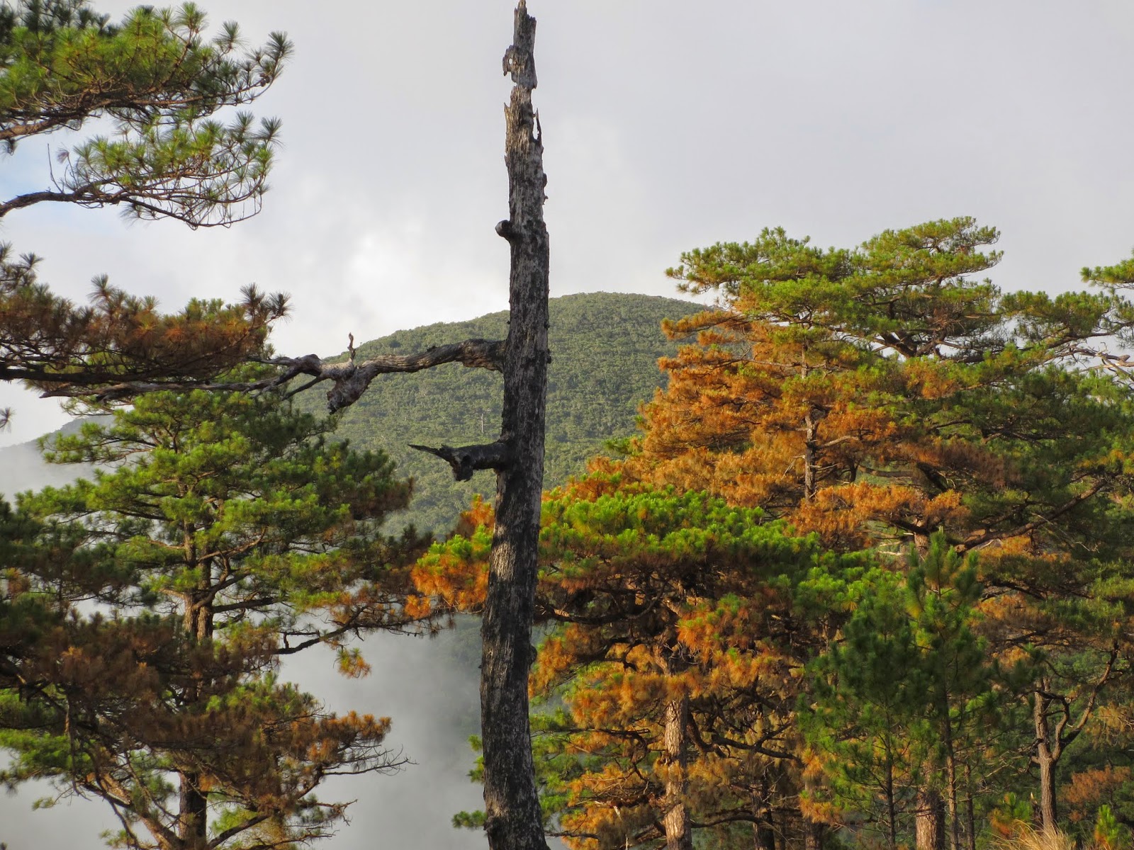
We stayed here for lunch. At 1pm we continued our walk until we reached this amazing part ng trail where you can see kung gaano ka na kalayo dun sa pinanggalingan mo and later on we reached the Pine Trees. Here are some photos.


After this part of the trail, the trail starts to become steeper making it harder. And at last, after 10 hours of walking, we reached the Campsite.
Campsite

There are little problems at the camp, sunog ang mga damo due to hunting.

This is why some people called it BURNham park due to grass fires and also, it looks like a park. Plus there is a bench and table, a perfect place for chitchat, cooking and eating.

Here are some pictures of the campsite.


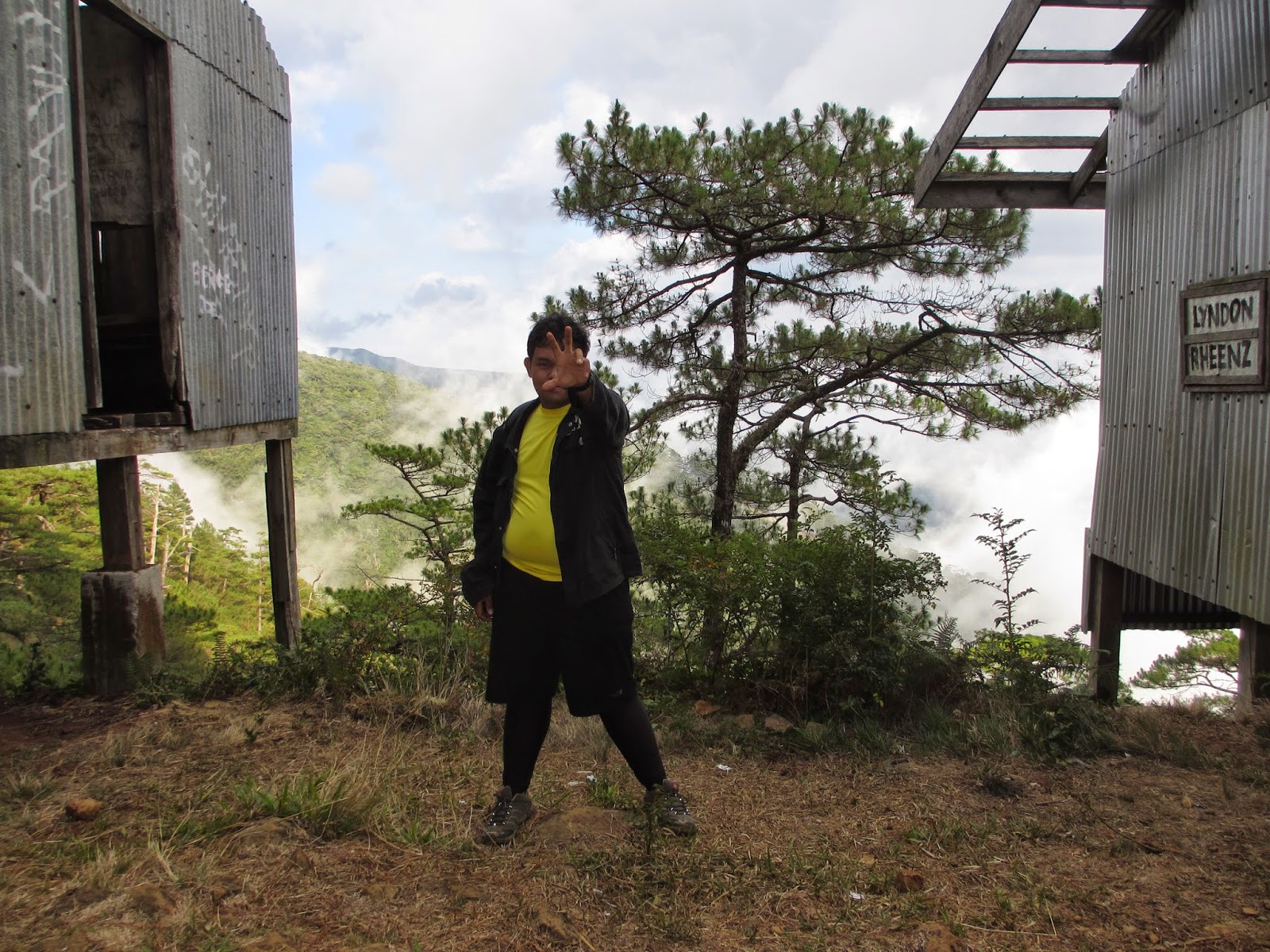
Bunker House


As the sun goes down, the temperature is also going down and according to them, its 20 Degrees Celsius. at night, it is colder than expected so our guides made a bonfire for heat. Dun sa bonfire kami lahat nag-gather after we ate our dinner.


Summit Assault
This is us, at 4am we woke up in preparation for summit assault. It's freezing cold kaya naghahanapan ng bonfire. Good thing the guides made another one. Namatay kasi yung unang bonfire. Some of our group made coffee.

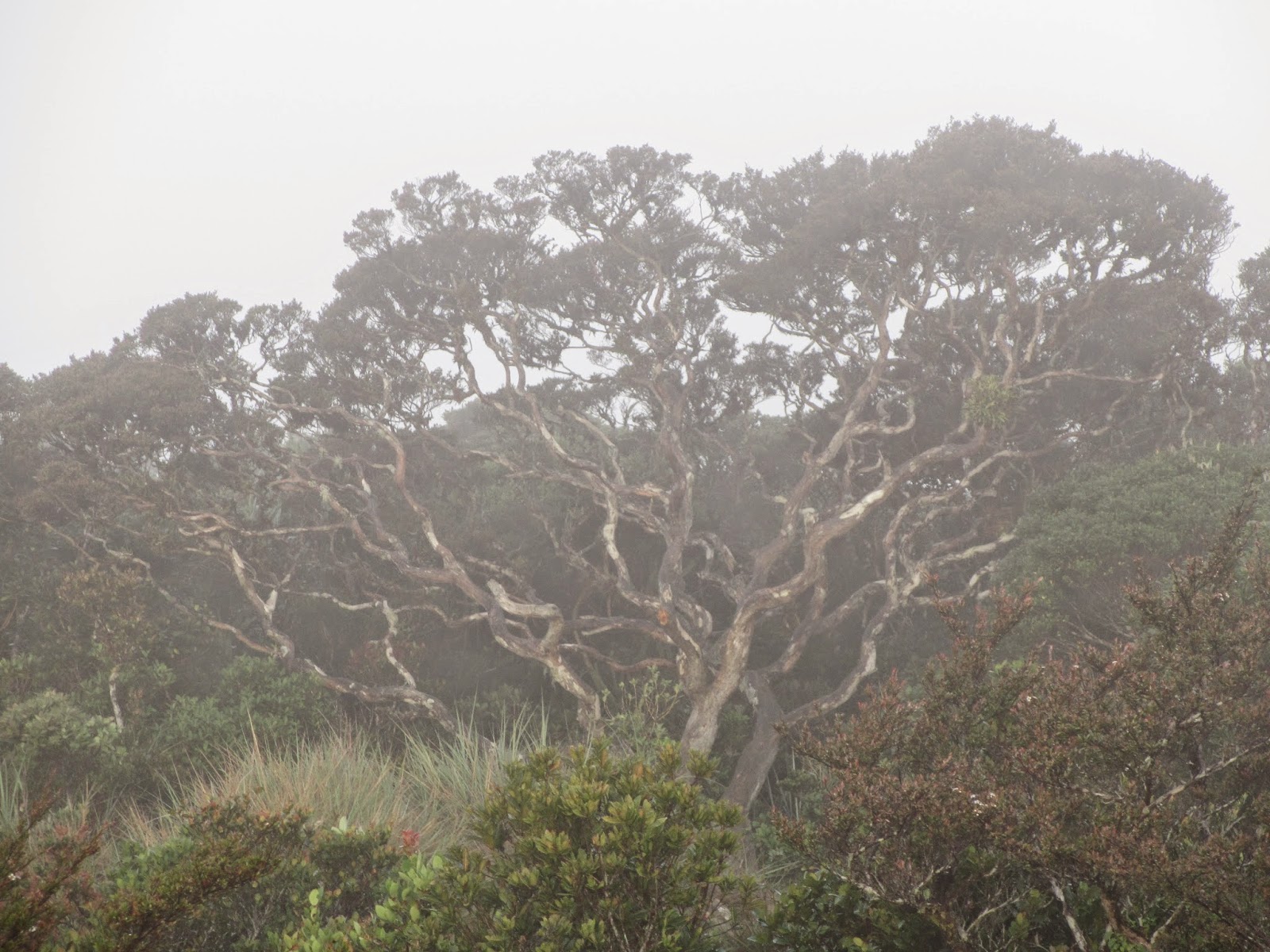
At 5am we start walking going to summit. The first part of the trail going the summit is rocky with burnt grass. Then a few minutes later, we reached the mossy forest. This part has limatik during rainy season, good thing we are the lucky ones. NO lamatik attacked on us. After a veery long walk through the mossy forest, we reached this tree called "The World Tree"
TRIVIA-----------------------------------------------------------------------------------------------------------
The name "World Tree" is came from the game DOTA.
---------------------------------------------------------------------------------------------------------------------
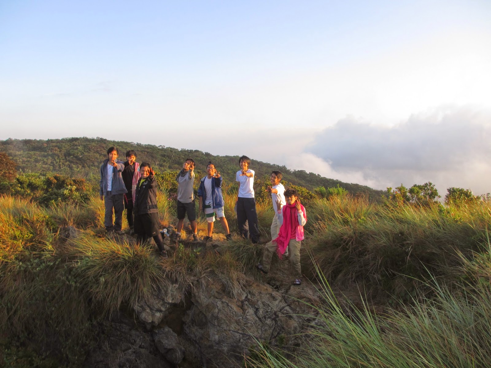
The World Tree signifies that WE ARE now at the summit. Like Mt. Pulag, Tapulao has also a Sea of Clouds that's why Mt. Tapulao is also called "Poor Man's Pulag"
Here are some photos


Sad to say, bawal ng umakyat sa World Tree.
Descent
"Here we go again" as we go down to Mt. Tapulao. Few minutes from campsite, nakita na namin yung Bulldozer.


Thanks to the Bulldozer, mas madali na apakan ang trail because nawala na yung mga malalaking bato. As we continue, nasira na shoes ko at nagpalit na ng sandals which is much easier and more comfortable sa toes. At 2pm nasa DENR na kami and prepare for Island Hopping in Magalawa Island.
For me, it is my "Ultimate Major Climb" because of a very hard trail a very cold night and a very hot weather. At first we didn't make it, this time we make it to the top. Although basagan ng tuhod at nasiraan ng sapatos, this climb is the best and another journey I will never forget.
 |
| Mt. Tapulao Summit as seen at the Campsite |
We already climbed it last 2012 but, because of a bad weather, we didn't make it to the top so we stayed at the DENR office. Here are some pictures of 2012 climb.
 |
 |
| 2012 Tapulao "Failed" Climb |
The only difference from 2012 climb to 2015 climb is that the huge rocks along the trail are now removed. Some parts of the trail ay may marks ng gulong ng bulldozer due to a preparation of the trail run event in Mt. Tapulao. Also, guides are now required.
The weather is just fine, huwag lang abutan ng araw sa first part ng trail which is from DENR to First Water Source (KM 6) because there are no trees sa part na yan for shade. 9am nasa KM 6 na kami (Water Source 1)
After refill of water, it'a time to go to the Second Water Source (KM 10). Here, mapuno sa part na ito. Huge rocks are still there. A good place to rest because of shade. KM 0 to KM 6 pa lang masakit na mga paa namin, what more on this part where you need to walk on these huge rocks.
Some well known plants like Fern ay makikita din dito sa part ng trail. It's edible but bitter. Lunch time, nakarating na din sa KM 10 (Water Source 2)
We stayed here for lunch. At 1pm we continued our walk until we reached this amazing part ng trail where you can see kung gaano ka na kalayo dun sa pinanggalingan mo and later on we reached the Pine Trees. Here are some photos.
After this part of the trail, the trail starts to become steeper making it harder. And at last, after 10 hours of walking, we reached the Campsite.
Campsite
This is why some people called it BURNham park due to grass fires and also, it looks like a park. Plus there is a bench and table, a perfect place for chitchat, cooking and eating.
Here are some pictures of the campsite.
 |
| Summit as seen at the Campsite |
15 minutes from Campsite makikita ang Bunker House. Some guides sleep here. Here are some photos.
Summit Assault
This is us, at 4am we woke up in preparation for summit assault. It's freezing cold kaya naghahanapan ng bonfire. Good thing the guides made another one. Namatay kasi yung unang bonfire. Some of our group made coffee.
At 5am we start walking going to summit. The first part of the trail going the summit is rocky with burnt grass. Then a few minutes later, we reached the mossy forest. This part has limatik during rainy season, good thing we are the lucky ones. NO lamatik attacked on us. After a veery long walk through the mossy forest, we reached this tree called "The World Tree"
TRIVIA-----------------------------------------------------------------------------------------------------------
The name "World Tree" is came from the game DOTA.
---------------------------------------------------------------------------------------------------------------------
The World Tree signifies that WE ARE now at the summit. Like Mt. Pulag, Tapulao has also a Sea of Clouds that's why Mt. Tapulao is also called "Poor Man's Pulag"
Here are some photos
Sad to say, bawal ng umakyat sa World Tree.
Descent
"Here we go again" as we go down to Mt. Tapulao. Few minutes from campsite, nakita na namin yung Bulldozer.
Luckily, mas mabilis pababa unlike yung pababa. But the kulitan on the trail never stops
Thanks to the Bulldozer, mas madali na apakan ang trail because nawala na yung mga malalaking bato. As we continue, nasira na shoes ko at nagpalit na ng sandals which is much easier and more comfortable sa toes. At 2pm nasa DENR na kami and prepare for Island Hopping in Magalawa Island.
For me, it is my "Ultimate Major Climb" because of a very hard trail a very cold night and a very hot weather. At first we didn't make it, this time we make it to the top. Although basagan ng tuhod at nasiraan ng sapatos, this climb is the best and another journey I will never forget.
Photo Credits to the Owners


nice!
ReplyDelete